
CNN picture
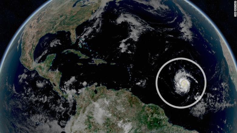
According to meteorologist Phil Klotzbach, it was the strongest hurricane ever seen this far east and this late in the season.
And now scientists know what the storm looked like from the inside. Last week, NOAA researchers sent a drone directly into the heart of the hurricane.
“We couldn’t have asked for a better storm, a Category 4 hurricane,” said Greg Foltz, NOAA scientist and co-leader of the project, in an interview with E&E News.
The feat was accomplished using a special floating vehicle designed by Saildrone Inc. which specializes in ocean data collection drones.
Saildrones resemble unmanned mini-sailboats, usually equipped with 25-foot-high sails to keep them moving. In this case, the drone in question was equipped with a special “hurricane wing,” a shorter rigid sail designed to keep the vehicle stable in high winds and prevent it from being crushed by large waves.
Tumbling about inside the hurricane, the intrepid Saildrone busily collected data on ocean temperature, ocean salinity, wind speed, air temperature and humidity, and other scientific measurements.
NOAA scientists hope the data will provide new insights into how hurricanes form and intensify.
“This is the engine of a hurricane—the source of it is the warmth of the ocean,” Foltz said. “The warmer the ocean, potentially the higher the winds can be in a hurricane. So by having these measurements, you start to get out exactly how this happens.”
Sam is a particularly useful case study. Sam underwent a process known by scientists as “rapid intensification”—that’s when a storm’s wind speeds increase by at least 35 mph in a 24-hour period. Sam exceeded this threshold several times over, ballooning from a tropical storm into a major hurricane in a matter of days.
Rapid intensification can have major consequences in landfall-making storms. It can give coastal communities less time to prepare and organize evacuations.
It’s a process that likely will worsen with climate change. Some research suggests that rapid intensification events already have grown stronger over the last few decades, while other studies indicate that they’ll happen more frequently as the planet continues to warm.
Better understanding rapid intensification is “a big priority within NOAA,” Foltz said.
The Saildrone program is part of a larger NOAA effort to gather better scientific observations using uncrewed vehicles, or drones. Last year, the agency announced that it was establishing a new Unmanned Systems Operations Program to collect various kinds of environmental data. Hurricane research is a major priority.
In addition to Saildrone’s seagoing vehicles, NOAA has partnered with other private firms on airborne drone research. It’s used its fleet of Hurricane Hunter aircraft to drop small, flying drones into storms from above.
Both kinds of observations—from the sky and from the sea—are crucial to better hurricane forecasts, according to Foltz.
“They’re complementary,” he said. “You need the upper atmosphere measurements above the surface from these flying drones and from the earth-sea interface. And that’s what we haven’t been able to do before without something like the Saildrone.”
Comment here